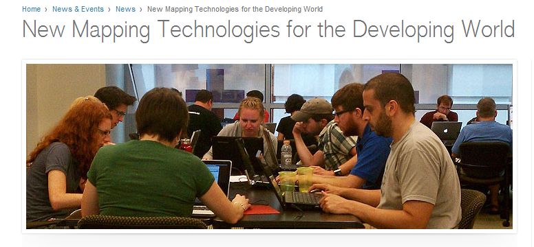
The Humanitarian Information Unit has for the second time worked with the Humanitarian OpenStreetMap Team to deliver high resolution commercial satellite imagery to the crowd. For this project we helped support the American Red Cross with a disaster risk reduction project focused on the citites of Gulu and Lira in northwest Uganda. Details of the project can be found on the Red Cross blog, “We Start With A Good Map” and the recent Red Cross news article “New Mapping Technologies for the Developing World.” One exciting element of this project is that ARC staff are working directly with locals in country on the project and helping to provide additional local knowledge to the map.
The HIU tasked, processed, and served the imagery using its CyberGIS computing infrastructure (more on this coming). The imagery services have been running for a couple weeks and the mapping results are quite stunning. The amount of detail in Gulu surprises me every time I look at it, especially the trees, huts, and buildings. The maps below are interactive and can be used to zoom and pan around the OpenStreetMap data. Details on how to help with the mapping task, or any other mapping task, can be found at the OSM Tasking Server.
Lira appears to be a smaller town, with less overall mapping, but the building mapping is equally detailed.

